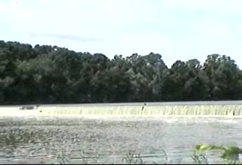
For my first day touring my home state, I stuck close to my home in South Toledo. I headed west to Defiance and traced the Maumee River eastward until I wound back home to Maumee, the suburb nearby. I began my day at Independence Dam State Park, outside Defiance. The river was dammed up there for the confluence of the Erie & Wabash Canals. On that lovely summer day, the Maumee was in full flow. One lock from the canal remained at the park, and I was able to climb on top of it and look down. The Erie canal completed construction in 1856 and tied the Ohio River to Lake Erie to enable transportation of goods at a speed of 5-8 miles per hour. By the Civil War, the railroad was gaining in dominance for transportation and the canal system fell out of use later in the 19th century. The park includes signage of the various towns connected by the Erie Canal, which now are cities more or less connected by Interstate 75. The Independence Dam area boomed during canal construction, then busted once the canal was complete.

I headed next into Defiance, a charming Maumee River town. Markers downtown commemorate the the largest apple tree on record with a display of the cut diameter, as well as the birthplace of Ottawa Chief Pontiac in 1720. He consolidated Ottawa, Ojibwe, and Potawatomi resistance to the English in the 1760’s and formed an alliance with French. When the English, victorious in the French and Indian War, came to claim the French forts, Pontiac enlisted further Indian support to capture fallen French forts and almost captured Detroit. However, he eventually withdrew back to the Maumee River area and was later betrayed and killed. Indian resistance in the area remained high following the American Revolution–in fact it was the site of one of the largest conferederacies of Indians in 1792–so in Gen. Anthony Wayne, a veteran of the Revolution, came to the area to establish US rule and enable white settlement. He built Fort Defiance in 1794, so named because Wayne defied the English, Indians, and all the devils in Hell to take the area back. The original fort was eventually abandoned and deteriorated over time, then a replica was built 100 years later, and it too deteriorated. The original flagstand remains, in solid wood.
One of the important strategic elements of the area is that the Maumee and Auglaize Rivers come together at the site. Buffalo was sited there in 1718.

In Waterville, I stopped at Roche de Bout, an island in the Maumee River where Wayne crossed on the way to the Fallen Timbers. Before I headed there, I stopped at the Butterfly House at Wheeler Farms in Whitehouse. I did not know such a thing existed, and found it to be a greenhouse for butterflies. I wandered around trying to capture pictures of the thousands of butterflies at the site. They fluttered around me when I stood still. I stayed awhile because it was delightful.

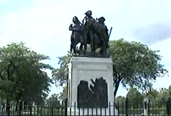
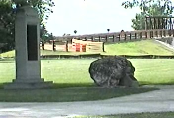
Then I headed to the Fallen Timbers Memorial in Maumee. Fallen Timbers is named after a storm felled a number of trees there. I should note that, despite being named for something fallen, it is where I took my first steps. My parents took me there on a family outing just as I was beginning to learn to walk and, upon setting me down, I managed walking on my own that day. The large statues and reliefs at the site do not commemorate this event, as they are preoccupied with the 1794 battle between Wayne’s US forces and those of Chief Little Turtle. Ultimately, US forces won, and Little Turtle signed the Treaty of Greenville, which enabled white settlement. The site includes Turkey Foot Rock, where visitors can leave tributes to the chief. The memorial commemorates both sets of combatants–US and Native– as well as those settlers who perished prior to the establishment of US control, and the Treaty of Greenville.

Ohio was created as a state in 1803, but this part of the frontier was controlled by British forces until 1812, when the US cemented control and the states around the Great Lakes–Michigan, Wisconsin, Minnesota–were carved up into separate territories. Natives were moved out of northwest Ohio by the 1830s.
